Keep Yourself Warm and Fuzzy on Arizona Land for just $114.14/mo.!
Address: Adamana, Apache AZ 86025
Parcel Size: 1.08 acres
FULL PRICE: $3,861 + $275 for the doc fee
OWNER-FINANCING: $99 down + $275 for the doc fee
$124.95 per month for 36 months (12% Interest)
Address: Adamana, Apache AZ 86025
Parcel Size: 1.08 acres
FULL PRICE: $3,861 + $275 for the doc fee
OWNER-FINANCING: $99 down + $275 for the doc fee
$124.95 per month for 36 months (12% Interest)
Address: Adamana, Apache AZ 86025
Parcel Size: 1.08 acres
FULL PRICE: $3,861 + $275 for the doc fee
OWNER-FINANCING: $99 down + $275 for the doc fee
$124.95 per month for 36 months (12% Interest)
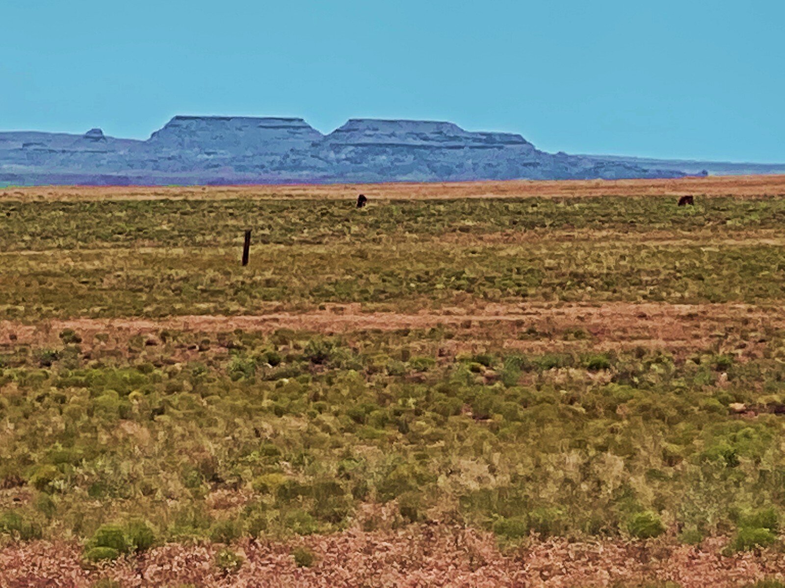
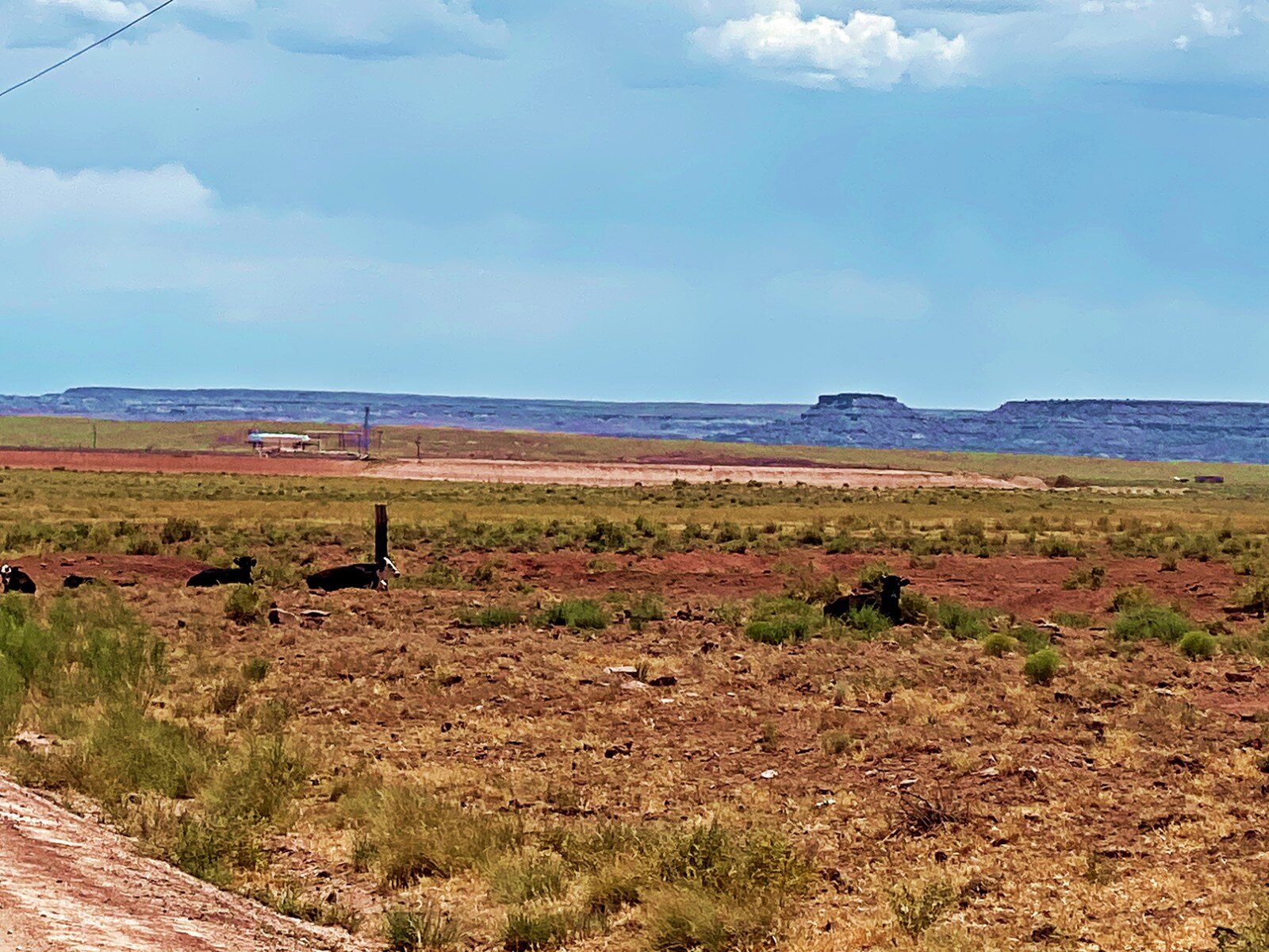
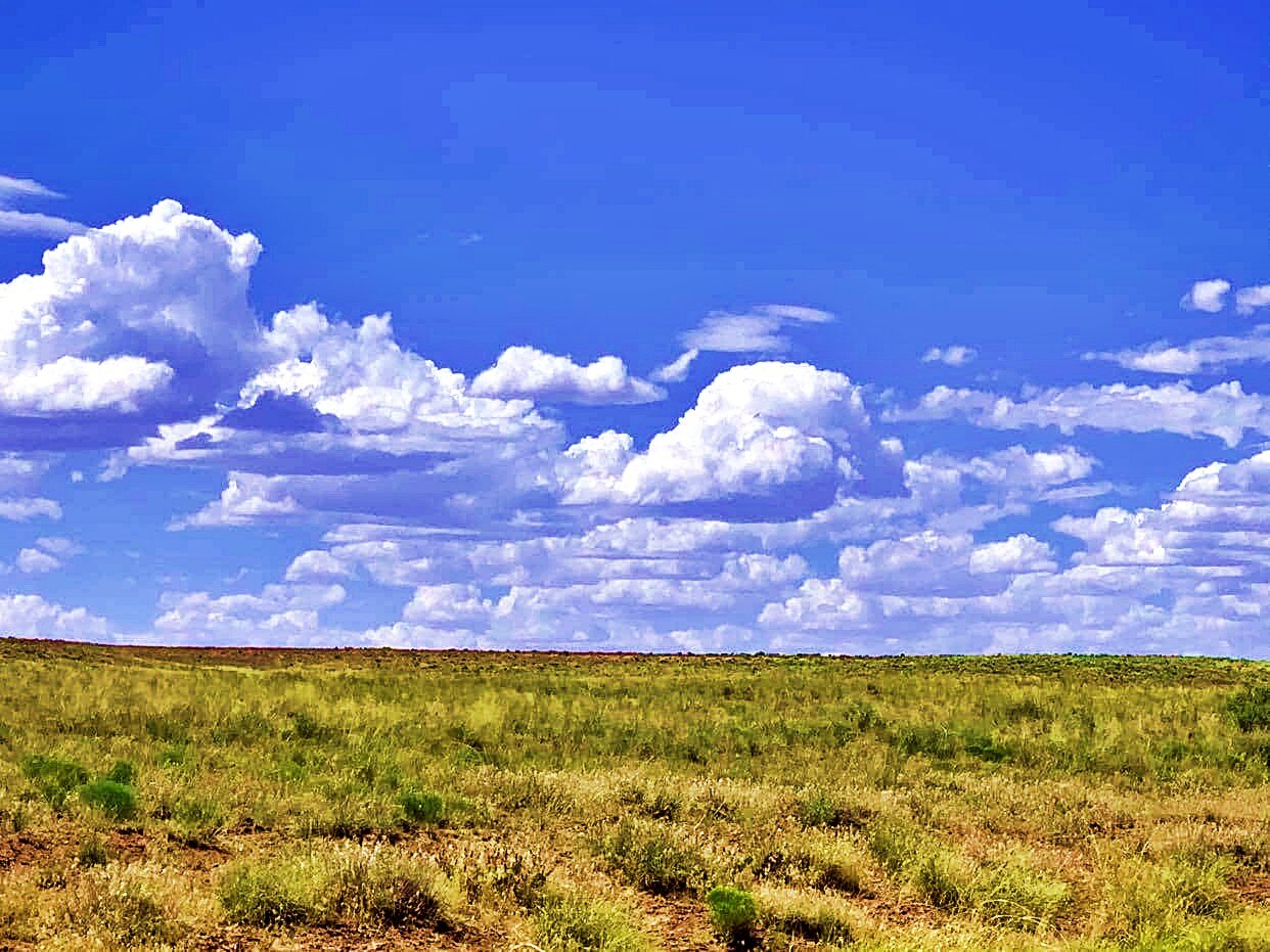
This pristine raw land located in Apache County, Arizona, can serve as your blank canvas to build exactly what you have in mind.
Do you need a place to shoot your guns, ride your dirt bike or enjoy your 4-wheeler without limits? Then this is your chance! Your search ends here.
Owner financing available!
$99 down
$124.95 per month for 36 months at 12% Interest
$275 non-refundable doc fee
We have other lots for sale! As soon as you make the down payment, the property is yours to develop and start living the life you’ve always wanted.
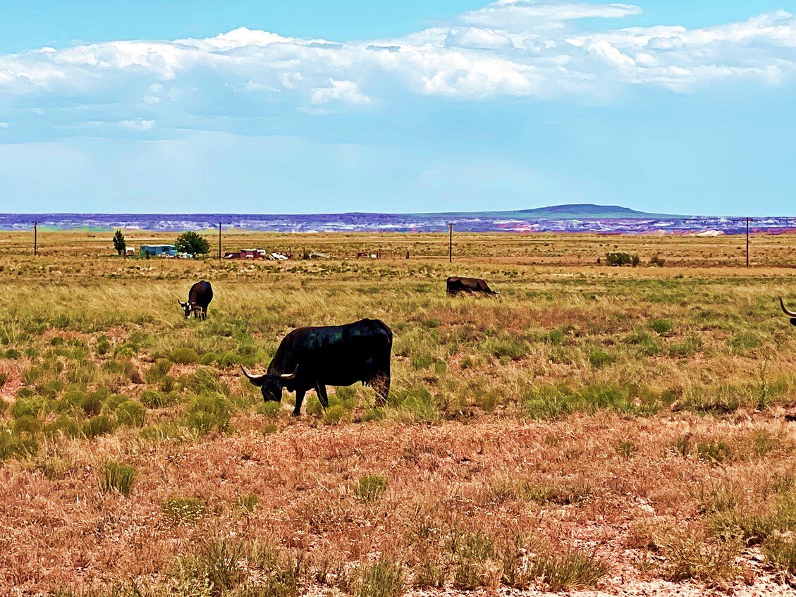
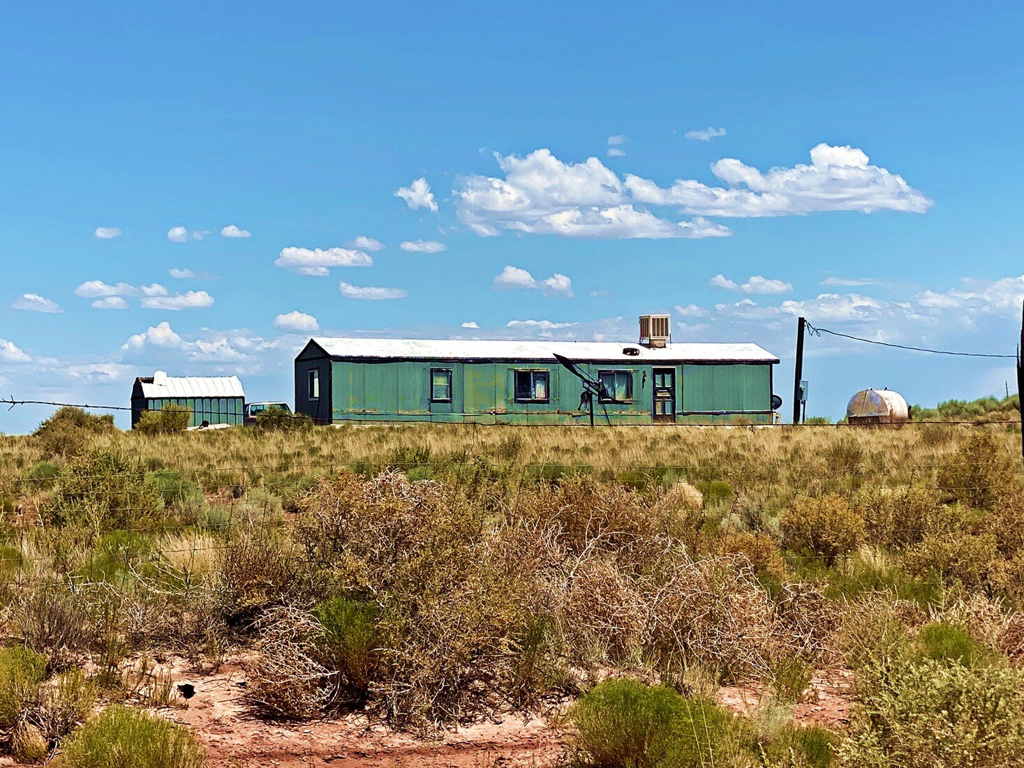
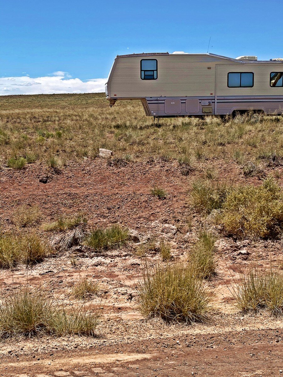
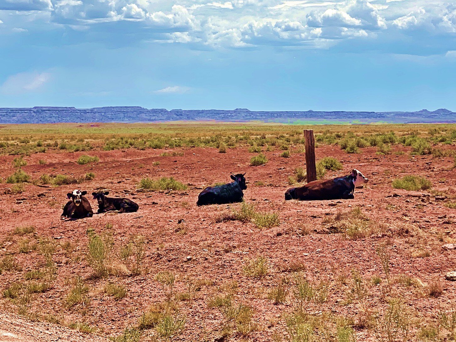
The lot is zoned as Agricultural General and offers plenty of options! You can grow crops, breed cattle, establish a commercial facility, build one single-family dwelling or put a mobile home. Besides, the lot is approved for some public and quasi-public uses, like building a public school, a church or a water pumping plant.
If you get a permit, you can even build a condominium, a hotel, or a drive-through commercial facility. The opportunities are endless!
You have found a place with beautiful views in all directions and direct access via dirt road.
The lot borders the Petrified Forest National Park, which is off of Interstate 40, and in the same county as the four corners of the United States! This is the general area of the lots: https://bit.ly/2YUzifx
PROPERTY INFORMATION
Property Address: Adamana, Apache AZ 86025
County, State: Apache County, AZ
Subdivision: PETRIFIED FOREST ESTATES
GPS Coordinates: 35.004876, -109.825966
Google Map Link: https://goo.gl/maps/332AqoqaC4HVyLPc8
Zoning: Agricultural
Elevation: 5,456 ft.
Annual Property Taxes: $3.34
Tax Area/District: 1802 – SD#18, RES DIST #18 NAVAJO INDIAN, NORTHERN HEALTH CARE DIST
No liens or encumbrances on the property
No credit or background checks
No lengthy processes


